


Highlights
New gravity site strengthens national mineral mapping
Geoscience Australia expands exploration capability
Gravity data supports resource discovery and future planning
Australia’s new gravity testing site strengthens national mineral discovery, geological mapping, and exploration infrastructure, supporting long-term resource planning and expanding scientific insights across emerging regions and industries.
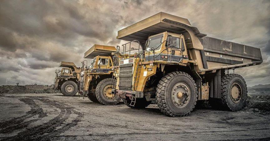
Australia has taken another major step in advancing national resource discovery through the establishment of a new gravity testing location, a move that strengthens exploration opportunities and supports broad-based industry development linked to the ASX 200. As the nation prioritises long-term mineral mapping and resource security, gravity readings are emerging as one of the most powerful scientific tools for understanding what lies beneath the surface.
This initiative is part of a wider framework aimed at uncovering minerals, groundwater systems, and future energy pathways across the country — creating interest for sectors connected with ASX mining stocks, the wider ASX stock market, and exploration-driven industries.
What Is the Purpose of the New Gravity Site?
The newly launched gravity testing point is designed to strengthen Australia’s geological knowledge. Scientists from Geoscience Australia conducted the first set of gravity readings using a highly sensitive A10 absolute gravimeter, a specialised tool capable of detecting subtle variations in the Earth’s gravitational field.
These measurements, taken at a designated location in Western Australia’s South West region, aim to create a new benchmark for ongoing readings across multiple geological zones. Data from these tests will be integrated with existing national records and released publicly, supporting academic research, exploration activities, infrastructure planning, and environmental assessments.
How Do Gravity Readings Help Exploration?
Gravity levels vary depending on the density of underlying rock structures. Areas with dense rock formations, such as granite, display stronger gravity signatures, while regions underlain by softer or more porous materials reflect weaker readings.
These differences reveal patterns that help identify:
-
Potential mineral-rich areas
-
Underground water systems
-
Geological faults
-
Structural pathways for alternative energy sources
This makes gravity data an essential tool for exploration companies, geological researchers, and industries linked with the ASX ordinaries stocks category.
What Role Does the National Gravity Database Play?
Australia’s National Gravity Database brings together decades of recorded observations. It helps create a unified map of underground structures across the continent. The integration of fresh gravity readings into this resource enhances national planning and supports broader exploration efforts.
This database plays a key role in:
-
Informing government resource strategies
-
Supporting academic research
-
Helping industries understand subsurface potential
-
Providing open access information for innovation-driven sectors
The addition of new gravity checkpoints further expands the collective dataset that industries rely on.
How Does the Initiative Support Mineral and Energy Development?
The gravity testing project forms part of the long-term Resourcing Australia’s Prosperity program. This broader initiative aims to build a complete, modern geological map of the country, enabling stronger insights into mineral deposits, renewable energy corridors, and groundwater networks.
Key focus areas include:
-
Identifying strategic mineral pathways
-
Enhancing mineral discovery potential
-
Supporting regions with emerging energy opportunities
-
Strengthening mapping accuracy using satellite and gravity data
The initiative is becoming increasingly relevant for companies across the resources sector, including those listed on the ASX 100, where diversified energy and mining groups operate.
Why Is Gravity Data Crucial for Future Technologies?
Beyond mineral discovery, gravity readings offer value in supporting technological systems that Australians use daily. Advanced gravity data helps refine location services, navigation tools, and geospatial systems.
Accurate geological measurements strengthen:
-
GPS performance
-
Mapping software
-
Land-movement monitoring
-
Environmental planning
This positions gravity science as a foundational component of both current infrastructure and future innovation.
How Does This Project Benefit Regional Australia?
Regions such as Western Australia’s South West stand to experience multiple advantages through the introduction of new gravity benchmarks. Enhanced geological information supports the identification of local resource potential while guiding future research and environmental assessments.
Benefits for regional areas include:
-
Improved geological clarity
-
Attraction of exploration interest
-
Support for future development projects
-
Community-level insights into underground structures
This may also encourage attention from companies in the ASX dividend stocks category that operate in resource-linked segments.
How Does Gravity Testing Shape Australia’s Resource Future?
As exploration requirements evolve, gravity data has become a key driver of informed decision-making. By strengthening national geological datasets, Australia enhances its ability to identify potential resource sites, assess groundwater needs, and prepare for long-term economic transitions.
Collectively, the new gravity testing site represents:
-
A strategic investment in exploration science
-
A major enhancement to national mapping efforts
-
A foundation for future mineral and groundwater planning
-
A step toward greater transparency in resource discovery
What Are the Broader Implications for the Exploration Sector?
The introduction of new gravity data reinforces the technological and scientific backbone of exploration activities across Australia. Companies across the mining ecosystem rely increasingly on precision-based geological tools to support future planning and long-term assessment.
This strengthened capability supports:
-
Better regional exploration insights
-
Enhanced structural mapping
-
Expansion of resource corridors
-
Direct contributions to national research frameworks
The move is seen as a long-term strategic investment that aligns with Australia’s growing focus on minerals crucial to future industries.
