


Highlights
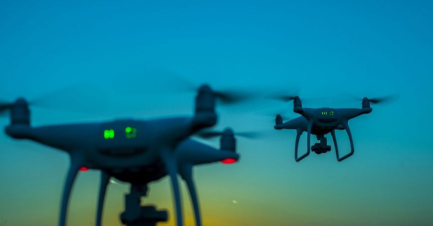
- Aerologix offers its clients a ‘uber-for-drones’ solution, using its proprietary technology and expansive network of licensed pilots.
- Aerologix uses LIDAR technology to generate aerial imaging data for its
- LIDAR or ‘light detection and ranging’ is a remote sensing technology, which helps in obtaining data to develop high-resolution maps and models.
- Aerologix integrates LIDAR data using its in-built tech feature AeroCAD.
Aerologix Pty Ltd has been riding high in the drone industry and has established itself as one of Australia’s most reliable aerial imaging service providers. Aerologix offers its clients a ‘uber-for-drones’ solution using its proprietary technology and expansive network of licensed pilots.
To expand its client base, the company has been scaling up its tech assets to be able to work on countless aerial missions. One of the advanced tech features that makes Aerologix deliver brilliant aerial imaging data is LIDAR technology.
Also read: How does Aerologix cut above the rest of Australian drone players?
How does LIDAR help in drone data collection?

Image source © Dizain777 | Megapixl.com
LIDAR or ‘light detection and ranging’ is a remote sensing technology that uses oscillating mirrors to send out beams of laser light in many directions so as to generate a “sheet” of light as the drone moves forward.
By measuring the timing, variable distances and intensity of the returning pulses, readings of the terrain and other points on the ground can be obtained.
The final data acquired can be used to develop high-resolution maps as well as 3D models of objects and infrastructure.
Do read: Aerologix masters Australian airspace with in-house trailblazing technology
How does Aerologix integrate LIDAR data?
Aerologix hosts three tech features powered by Artificial Intelligence (AI) – AeroPath, AeroCAD and AeroLive. With these features, drone pilots associated with Aerologix are able to deliver aerial projects timely and accurately.
Equipped with the latest technology in AI, AeroCAD is the advanced analytics software designed to build CAD models in the DXF format. All the LiDAR data that Aerologix pilots acquire can be integrated and presented seamlessly using AeroCAD.
Do read: Drone business can boost Australian economy; How Aerologix can lead from the front
