


Highlights
Expanded manganese footprint at the Kuro prospect
Advanced surface mapping sharpens exploration focus
Seasonal access to guide next phase of field activity
Trek Metals (ASX:TKM) advances exploration at the Kuro prospect with strong surface results, refined drone-led mapping, and heritage engagement that supports a broader understanding of a growing manganese system across the Christmas Creek project.
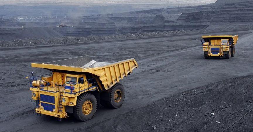
Trek Metals (TKM) continues to draw attention across ASX mining stocks as fresh surface work at the Kuro prospect reveals a broader picture of manganese mineralisation at the Christmas Creek project in Western Australia. The latest findings add depth to the company’s ongoing exploration narrative, blending detailed field sampling with modern imaging to outline a mineralised corridor that stretches beyond what is visible at ground level.
This phase of work brings together traditional reconnaissance with high-resolution drone interpretation, allowing geologists to trace outcrops and subtle surface expressions that may have been overlooked by earlier methods. The outcome is a clearer map of how manganese-bearing zones align with gravity responses beneath the surface, creating a foundation for informed field planning once seasonal access returns.
A Growing Footprint at Kuro
The Kuro prospect sits within a broader landscape of sub-parallel outcrops that form a corridor of manganese-rich material. These outcrops appear as discrete surface exposures separated by shallow cover, a pattern that suggests continuity below ground. Recent rock chip sampling from these exposures has reinforced the view that mineralisation is not confined to isolated patches, but instead follows a structural trend across the project area.
By combining sample results with geophysical insights, Trek Metals has been able to align surface findings with underlying gravity anomalies. This alignment points to a system that extends beyond mapped boundaries, hinting at a larger framework of mineralisation that could shape future exploration priorities. The approach underscores how surface observations can be amplified by subsurface data to build a more complete geological model.
Drone Technology Adds a New Layer of Insight
High-resolution drone imagery has become a central tool in refining the interpretation of the Kuro landscape. From above, the technology captures subtle variations in rock texture, color, and structure that are difficult to detect from the ground. These aerial perspectives allow geologists to trace trends across rugged terrain, identify new areas of interest, and confirm the continuity of known outcrops.
The drone data has revealed multiple zones that mirror the main mineralised trend, each supported by strong gravity responses. This convergence of visual and geophysical signals strengthens the case for a concealed system at depth. By layering these datasets, Trek Metals can prioritize targets that align both at the surface and below, improving the efficiency of upcoming field campaigns.
Understanding the Geological Setting
The Christmas Creek project lies within a region known for its complex geological history. Layers of sedimentary and volcanic rocks have been shaped by tectonic forces over time, creating pathways for hydrothermal fluids that carry manganese and other minerals. These fluids move through fractures and faults, depositing material as conditions change.
At Kuro, the pattern of mineralisation suggests that such pathways may be more extensive than first observed. The alignment of outcrops with gravity anomalies indicates denser material at depth, consistent with a broader hydrothermal system. This understanding helps frame the prospect within a district-scale context, where individual surface expressions are part of a larger geological story.
Seasonal Access and Field Planning
Access to the project area plays a key role in determining the pace of exploration. Seasonal conditions can limit on-ground work, making it essential to use downtime for data analysis and planning. Trek Metals has used this period to refine targets, review imagery, and align geophysical interpretations with surface observations.
Once conditions allow, the focus will shift back to field verification. Ground teams are expected to revisit identified zones, confirm drone interpretations, and collect additional samples where shallow cover obscures the underlying geology. This step-by-step approach ensures that each phase of work builds on the last, reducing uncertainty and sharpening the exploration strategy.
Heritage Engagement and Responsible Exploration
A crucial part of advancing exploration is engagement with local traditional owners. Trek Metals has submitted a Heritage Impact Assessment request to ensure that planned activities respect cultural and environmental considerations. This process not only supports responsible project development but also helps create a framework for ongoing collaboration.
By integrating heritage assessments into exploration planning, the company aligns its technical goals with broader community and environmental responsibilities. This balance is increasingly important across the ASX stock market, where stakeholders look for transparency and care alongside technical progress.
Linking Kuro to the Broader Market Landscape
Manganese plays a role in a range of industrial and energy-related applications, placing projects like Christmas Creek within a wider market context. Interest in resource development is shaped not only by geology but also by trends across major indices such as the ASX100, ASX200, and ASX300.
For companies operating in this space, visibility across these benchmarks can influence how projects are perceived by the broader investment community. While Trek Metals remains focused on on-ground progress, the evolving narrative at Kuro contributes to the wider conversation around exploration activity and resource development in Western Australia.
The Role of Geophysics in Modern Exploration
Gravity surveys have become a valuable tool in identifying areas of interest beneath the surface. By measuring subtle variations in the Earth’s gravitational field, geologists can infer changes in rock density that may point to mineralised zones. At Kuro, these surveys have highlighted anomalies that extend beyond visible outcrops, suggesting continuity at depth.
When combined with drone imagery and surface sampling, geophysical data helps create a layered understanding of the subsurface. This integrated approach reduces reliance on any single dataset and allows for more confident decision-making when selecting areas for further investigation.
Building a District-Scale Perspective
One of the key themes emerging from the latest work at Christmas Creek is the idea of scale. Rather than viewing Kuro as a standalone target, the company is framing it within a broader district setting. The presence of multiple sub-parallel trends and widespread gravity responses points to a system that may span a significant area.
This perspective encourages a more holistic exploration strategy. Instead of focusing solely on individual outcrops, the team can assess how different zones relate to one another, identifying patterns that may guide future work across the wider project area.
Communication and Market Awareness
As exploration progresses, clear communication remains an important part of the process. Updates on surface work, drone findings, and heritage engagement help keep the broader community informed. This transparency supports a better understanding of how technical results translate into project milestones.
Within the context of ASX dividend stocks and other market segments, exploration updates can also contribute to discussions about long-term resource development. While each project follows its own path, shared insights help shape expectations across the sector.
Looking Ahead at Christmas Creek
The next phase of activity at Kuro will build on the foundation laid by recent surface and aerial work. Field teams are expected to return with a clearer map of priority areas, informed by the convergence of sample results, drone imagery, and gravity data. This preparation aims to make on-ground efforts more targeted and efficient.
As the exploration story unfolds, the focus remains on understanding the full extent of the manganese system. Each new dataset adds another piece to the puzzle, helping to refine the geological model and guide future decisions.
Why Kuro Matters in the Exploration Landscape
Projects like Kuro highlight how modern exploration blends technology, geology, and community engagement. The use of drones and geophysics reflects a shift toward data-driven approaches, while heritage assessments underscore the importance of responsible development.
Together, these elements create a framework that goes beyond simple discovery. They shape how projects are planned, communicated, and integrated into the broader mining landscape of Western Australia and the national market.
