


Highlights
New exploration ground strengthens expansion plans
Extended geological continuity supports future stages
Modelling work aims to refine resource understanding
West Wits Mining Ltd (ASX:WWI) has secured a fresh prospecting right linked to the Witwatersrand Basin Project. The development enhances exploration scope, strengthens geological continuity, and provides added direction for upcoming project stages through structured modelling and resource reviews.
A step that stretches exploration horizons
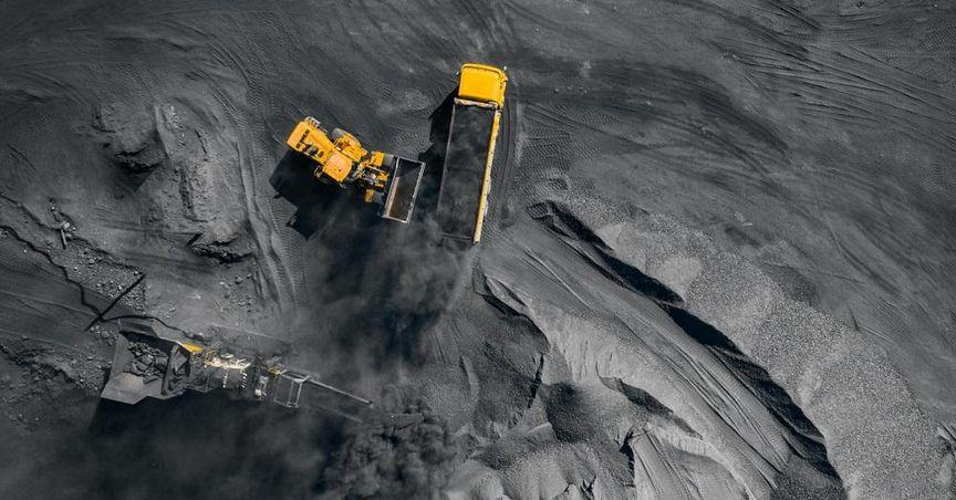
West Wits Mining Ltd (ASX:WWI) has received approval for a new prospecting right that fits directly into its evolving strategy across the Witwatersrand Basin Project in Johannesburg. This addition brings fresh scope to an already significant asset footprint, placing the company in a stronger position as the broader landscape of ASX mining stocks continues to attract attention from market observers.
The new ground sits next to existing project areas, building continuity across geological structures and allowing work to extend beyond earlier boundaries. For West Wits Mining, the approval represents not only fresh ground, but also added clarity around how future development may unfold.
Strengthening the foundation around Qala Shallows
The newly approved right directly connects with the Qala Shallows development corridor. Beneath previously approved territory, mineralised reef extensions are believed to continue, and this licence supports evaluation of those deeper layers.
By linking adjoining zones into one broader footprint, West Wits Mining gains more flexibility in planning and sequencing activities. Instead of viewing each right as an isolated patch, the project area can now be studied as one continuous geological system.
Positioning for the long arc of development
The prospecting right also plays an important role in long-range planning. Exploration insights gathered here are expected to inform upcoming stages of project planning, including concepts for deeper sections of the basin.
The wider licence coverage means geological teams can look at the basin as an integrated sequence rather than a cluster of segmented blocks. Over time, this could help shape a clearer vision of how extraction phases may evolve, how infrastructure could be aligned, and how timelines may be structured in harmony with regulatory processes and environmental responsibilities.
Geological modelling brings clarity
With the new right approved, geological modelling is now underway. Existing samples, historical surveys, and regional data sets are being revisited and combined to build a fresh interpretation of the Kimberley Reef system across the expanded footprint.
Modern software, mapping tools, and structural models allow geologists to identify patterns that might not have been apparent earlier. These insights can highlight continuity trends, potential intersections between reef horizons, and the orientation of mineralised channels.
The remodel also means earlier assumptions are being tested against present-day knowledge. As commodity markets evolve, exploration thinking often evolves with them, leading teams to examine how earlier datasets may yield new conclusions when reviewed through a contemporary lens.
Reviewing the mineral resource estimate
Independent consultants are engaged to review and remodel the mineral resource estimate associated with the Kimberley Reefs. The intention is to ensure that interpretations reflect current geological thinking, refined modelling techniques, and updated market conditions.
This process is more than a calculation exercise. It involves mapping structures, understanding reef geometry, comparing drill records, analysing grade trends, and determining how geological domains interact. A carefully prepared model gives planners, engineers, and regulators clearer visibility as the project matures.
Integrating the new ground into the wider WBP vision
The newly granted right will be incorporated into broader resource studies for the entire Witwatersrand Basin Project. This approach ensures that decisions about scheduling, investment priorities, environmental stewardship, and community engagement all sit within a coherent framework.
Each new piece of ground can reshape how the greater project is viewed. When boundaries are extended, supporting infrastructure may evolve, access planning can shift, and resource estimates can broaden. For West Wits Mining, this means more room to align long-term growth pathways with realistic logistical planning.
A deeper look beneath the surface
One of the key values of the new licence is access to geological zones beneath previously authorised levels. Deeper sections of the Kimberley Reef remain largely under-evaluated, and insights from these areas could add a fresh chapter to the project’s story.
Deep-level exploration requires patient analysis and structured safety planning. However, with a methodical approach, it can reveal ore bodies that extend and enhance the continuity of existing zones, reinforcing the strategic importance of the project.
The wider industry lens
The development also occurs against the backdrop of a dynamic Australian resource sector, where miners continue to navigate global gold markets, evolving regulatory settings, and heightened interest in quality assets. Many observers follow the performance of indices such as ASX stock market, ASX100, ASX200 and ASX300 to gauge how resource companies are positioning themselves.
Projects like Witwatersrand Basin stand out not only because of their historical significance but also due to the role they may play in future supply pipelines. As market participants track developments, companies with structured strategies, disciplined exploration programs, and community-aligned planning often capture consistent interest.
Responsible development remains central
Exploration programmes increasingly operate within a framework focused on environmental care, community inclusion, and transparent governance. West Wits Mining continues to operate within regulated processes that require consultation, impact assessments, and ongoing dialogue with local stakeholders.
Responsible development is no longer an optional component of project design. It sits at the centre of every phase, guiding land use decisions, water management strategies, and rehabilitation requirements. Sustainable thinking becomes a cornerstone for long-term acceptance and regulatory continuity.
Linking exploration to future value creation
As modelling progresses, West Wits Mining aims to transform geological knowledge into strategic options. Well-defined resources provide the background for infrastructure planning, funding alignment, and staged development scenarios.
Over time, this can create pathways for stronger project resilience and more predictable outcomes. While commodity markets may move through cycles, well-structured assets supported by clear modelling often remain relevant throughout changing economic conditions.
Place in the broader ASX landscape
Among resource names on the Australian boards, companies with defined exploration assets often find themselves compared with peers across gold, base metals, and diversified portfolios. Some investors also track income-orientated counters like ASX dividend stocks when assessing long-term allocations, even while following exploration-driven stories like West Wits Mining.
This mix highlights the diversity of the market, where growth-driven resource explorers exist alongside income-focused companies, all moving within the same exchange environment.
What comes next
The next phase for West Wits Mining involves ongoing geological review, progressive integration of new data, and the refinement of resource estimates. Each modelling milestone adds more clarity, helping shape the roadmap for deeper development phases and expansion plans across the broader project.
With expanded ground, clearer geological continuity, and structured planning work underway, the Witwatersrand Basin Project steps into a new chapter grounded in detail, patience, and methodical exploration discipline.
