


Highlights
• High-density gravity survey expands interpreted scale of Highway Reward system.
• Imaging outlines vertically continuous copper-gold sulphide structure.
• Mineralised trend aligns with historic open-pit and underground workings.
Loyal Metals expands interpretation of Highway Reward after gravity imaging outlines a continuous copper-gold sulphide system beneath historic mining zones.
Australia’s mining and exploration industry forms a vital segment of the national economy, with resource companies represented across the All Ordinaries. Copper and gold projects contribute significantly to this diversified index, reflecting ongoing exploration and development activity throughout mineral-rich regions such as Queensland. The mining sector within the All Ordinaries encompasses producers, developers, and explorers working across base and precious metals, reinforcing Australia’s global resource presence.
Loyal Metals Limited (ASX:LLM) operates within this established mining framework and has outlined an expanded interpretation of the Highway Reward copper-gold system following completion of a high-density gravity survey. The geophysical program delineated a volcanic-hosted massive sulphide system extending beneath historical mining zones, enhancing the geological understanding of the project’s scale and structural continuity.
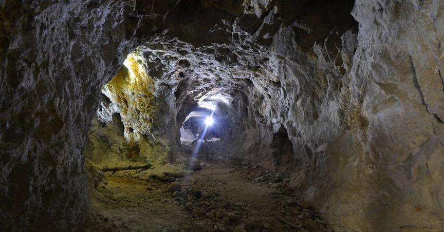
The Highway Reward Project is located in Queensland, a region known for volcanic sequences associated with copper and gold mineralisation. Historic open-pit and underground mining confirmed the presence of sulphide mineralisation within volcanic host rocks. The recent gravity survey aimed to refine the structural architecture below and adjacent to these workings, providing enhanced imaging of subsurface density contrasts.
Gravity surveys measure subtle variations in the Earth’s gravitational field to map density changes underground. Massive sulphide accumulations often generate identifiable gravity responses due to their density relative to surrounding rocks. Through expanded coverage and high-resolution data collection, Loyal strengthened interpretation of the project’s geological framework.
Geological Setting and Volcanic-Hosted Massive Sulphide System
Volcanic-hosted massive sulphide deposits form through hydrothermal activity linked to volcanic environments. Metal-rich fluids circulate through volcanic sequences and deposit sulphide minerals along structural pathways. Copper and gold mineralisation may accumulate within these zones, particularly along feeder structures that channel mineralising fluids.
At Highway Reward, gravity imaging delineated a sulphide system aligned with the established mineralised trend. Cross-sectional interpretations highlight a vertically continuous anomaly extending below historical mining levels. This configuration is consistent with a feeder-style sulphide system embedded within volcanic host rocks.
The geological environment surrounding Highway Reward comprises volcanic formations that provide a favourable setting for sulphide deposition. Structural corridors within these sequences may act as conduits for mineralising fluids. The gravity response demonstrates a spatial relationship between the density anomaly and known open-pit and underground mineralisation.
The vertically continuous feature remains open along plunge and at depth, reflecting an expanded footprint of the interpreted system. Rather than being confined to previously mined zones, the anomaly extends into deeper geological layers. This structural continuity enhances understanding of the broader mineralised corridor within the project area.
Integration of gravity data with historical geological information supports refined mapping of subsurface geometry. By combining datasets, the technical team developed a clearer representation of how mineralisation may extend beyond earlier extraction zones.
High-Density Gravity Survey and Data Interpretation
The gravity survey at Highway Reward employed closely spaced data points to achieve detailed subsurface imaging. High-density surveys improve resolution, enabling detection of nuanced variations in rock density that may correspond to sulphide accumulations.
Field teams conducted systematic measurements across defined grid patterns within the tenement area. Data processing incorporated corrections for terrain and environmental influences to ensure accurate modelling of density contrasts. The refined dataset revealed a pronounced anomaly coinciding with known copper-gold zones.
The anomaly extends vertically beneath historical open-pit and underground operations. Cross-sections illustrate continuity along a structural corridor interpreted as a feeder-style sulphide system. This configuration aligns with geological models commonly associated with volcanic-hosted massive sulphide deposits.
High-resolution gravity imaging enhances clarity when evaluating structurally controlled mineral systems. In volcanic terrains, massive sulphide bodies often generate distinct density signatures compared to surrounding host rocks. The data obtained at Highway Reward reinforces the structural relationship between mineralisation and volcanic sequences.
The open nature of the anomaly at depth and along plunge reflects the scale of the interpreted system. Gravity data contributes to a broader understanding of deposit geometry by outlining the shape and orientation of subsurface features. This refined framework supports further technical evaluation of the project.
Relationship to Historical Mining and Mineralised Trends
Highway Reward has a history of copper and gold extraction through both surface and underground methods. These operations confirmed sulphide mineralisation within volcanic host rocks but primarily targeted zones accessible with the mining approaches of that period.
The recent gravity survey outlines mineralisation extending beneath these historical workings. The anomaly correlates spatially with the existing open-pit and underground mineralised zones, reinforcing geological continuity. This spatial alignment supports interpretation of a unified sulphide system rather than isolated lenses.
Cross-sectional views demonstrate a vertically continuous feature consistent with a feeder-style configuration. Feeder structures are often central to the formation of volcanic-hosted sulphide deposits, acting as pathways for mineralising fluids. Mapping of this structure provides clarity regarding how mineralisation may extend beyond prior extraction levels.
The expanded interpretation underscores how contemporary geophysical tools can enhance understanding of established mining districts. By revisiting historical sites with modern surveying techniques, exploration companies can refine geological frameworks and identify deeper structural components.
Within the broader mining segment of the All Ordinaries, projects that integrate historic data with new geophysical surveys contribute to the evolving technical landscape of Australian exploration. Highway Reward’s updated interpretation illustrates this integration.
Broader Context Within the All Ordinaries Mining Segment
Mining and materials companies form a substantial portion of the All Ordinaries index. This benchmark captures the breadth of Australian-listed entities across industries, including resource exploration, production, and services. Copper-gold projects such as Highway Reward contribute to the commodity diversity represented within the index.
Exploration companies operate within structured regulatory and reporting frameworks that govern activities across Queensland and other mining jurisdictions. Field programs such as gravity surveys are conducted under environmental and compliance guidelines designed to ensure responsible resource development.
The asx all ords reflects a wide spectrum of corporate activity, from established producers to exploration-focused entities. While mature companies may be recognised among categories such as ASX dividend stocks, exploration companies concentrate on geological refinement and project advancement through technical programs.
Copper remains integral to electrical infrastructure, renewable energy systems, and industrial applications, while gold retains significance across various markets. Exploration of volcanic-hosted massive sulphide systems contributes to the broader understanding of Australia’s mineral endowment.
The gravity survey at Highway Reward delineates a coherent sulphide structure aligned with historic mineralisation and extending to deeper levels. By enhancing geological clarity through high-density imaging, Loyal Metals has expanded interpretation of the project’s structural footprint within Queensland’s established mining terrain.
