
_06_16_2026_04_54_27_535266.jpg)


Highlights
Cannindah Resources (ASX:CAE) outlines new exploration focus across Eastern and Southern zones at Mt Cannindah
Surface rock chip sampling reveals porphyry-style veining and mineralisation indicators
Drilling plans to test coinciding geophysical and geochemical anomalies near Gladstone.
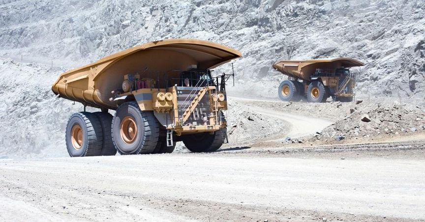
Australian mineral exploration firm Cannindah Resources (ASX:CAE) has increased exploration momentum in Queensland, focusing on copper and gold assets at its Mt Cannindah project. This announcement comes amid ongoing interest in resource-linked companies on the ASX 200, with Cannindah aligned to the broader resources index.
The company has pinpointed two new zones for upcoming drilling, following a series of encouraging surface sampling results across porphyry copper-molybdenum-gold centres. The Mt Cannindah site is located in central Queensland, southwest of Gladstone, with access to a well-known mineralised zone surrounding the Triassic Monument Intrusive complex.
Porphyry Mineralisation Footprints Confirmed
Cannindah Resources reports that recent sampling validated the presence of two separate porphyry centres. This assessment is based on findings of porphyry-style veining and associated skarn mineralisation, marking an important phase in the interpretation of historical geological data.
These features were initially recognised through older rock, soil, and shallow drilling samples, which had not previously captured the broader mineral system. The company indicated that these porphyry footprints were further outlined using elements such as tellurium, bismuth, tin, and tungsten as geochemical pathfinders.
The interpretation integrates new and historic datasets and has been supported by geophysics and mineral deposit modelling methods.
Eastern and Southern Exploration Zones Under Review
Two exploration zones—the Eastern and Southern areas of the Mt Cannindah project—have been selected for near-term drilling. Shallow drilling at the Eastern zone has already identified anomalous copper, indicating skarn development associated with the Kalpowar Fault and its splays.
The Southern zone was recognised through a combination of recent and historical sampling activities. Soil sampling has revealed high-order coincident zones featuring copper indicators across a wide geological footprint. Historic drillholes at the Monument and Lifesaver prospects within this area have previously recorded signs of distal skarn development.
These two zones are supported by a strong induced polarisation anomaly, which aligns with both the geochemical and geological evidence collected to date. Cannindah plans to conduct deeper drilling operations to assess the scale and nature of the mineral system.
Data-Driven Approach to Drilling Expansion
Cannindah Resources stated that further work will apply integrated exploration tools including data science, geophysical surveys, and structural modelling. The approach reflects a systematic review of the Mt Cannindah site, with ongoing data collection from previous drill campaigns contributing to target refinement.
Multiple drillholes, including historic halo drillholes, have returned results indicative of copper mineralisation at depth. This has reinforced the company’s focus on defining new areas within the broader mineral corridor surrounding the Triassic complex.
Mt Cannindah remains a key asset within Cannindah’s copper-gold portfolio, hosting numerous copper-gold-molybdenum occurrences in proximity to known intrusive zones.
Exploration Momentum Grows Across Resource Projects
With renewed exploration attention at Mt Cannindah, Cannindah Resources (ASX:CAE) continues to focus on its copper and gold exploration footprint in central Queensland. Broader market movements across the resources sector remain closely linked to global commodity developments and exploration progress, as seen in the varied performance of the ASX 200 resources constituents.
The project’s geological setting, in combination with extensive historical and current data, forms the foundation for the next round of drilling activities. Cannindah remains focused on updating geological models as more drilling and sampling results become available.
