
 AUS
AUS
 NZ
NZ
 UK
UK
 CA
CA
 USA
USA
 IND
IND






Highlights
- Historical drilling data covering approximately 2,816 metres of historical drilling at the Linka Project has been acquired at a nominal cost.
- Dataset includes 68 drillholes across the Linka, Hillside and Conquest targets.
- The transaction is expected to save months of field work and significant exploration expenditure.
- Data to support rapid 3D geological modelling and JORC-compliant validation drilling.
Viking Mines Limited (ASX:VKA) shares rose over 16% in morning trade on 22 January 2026 to AUD 0.01 after the company announced the completion of the acquisition of a comprehensive historical technical dataset covering the Linka Project in Nevada, USA.
The acquisition includes high-quality scans of cross-sections and geological maps from the late 1970s, providing a technical shortcut to advance exploration activities. The dataset is expected to potentially save months of field work and significant exploration capital.
Historical Dataset Secured
The acquired dataset comprises approximately 2,816 metres of historical drilling, including records for 68 drillholes, comprising eight diamond holes and 60 percussion holes. These drillholes are distributed across the Conquest, Linka and Hillside targets.
The company acquired the dataset for USD 35,000 (approximately AUD 50,000), a nominal amount compared with its estimated replacement cost of more than AUD 1.0 million at current market rates. The data provides a consolidated technical record of historical exploration activity across the project area.
Geological Mapping and Drilling Records
The acquired dataset comprises high-quality scanned cross-sections and geological maps dating back to the late 1970s. This material provides detailed insight into the location of high-grade zones within the Linka tungsten system, allowing known mineralisation to be assessed without the need to repeat earlier discovery work.
The information facilitates near-term planning of validation drilling required to align historical data with JORC reporting standards.
Strategic Exploration Applications
The historical data provides a high-resolution technical framework for designing twin-hole drilling programs, which are required to validate historical drilling results for potential future use in resource modelling. Trenching and surface sampling data identifies tactite (skarn) mineralisation along strike, highlighting drill targets beyond historical mine areas.
Detailed underground mine maps for the Linka and Conquest mines support the development of a three-dimensional geological model. In addition, surface maps confirm the locations of stockpiles identified during recent site visits.
Ongoing Work and Next Steps
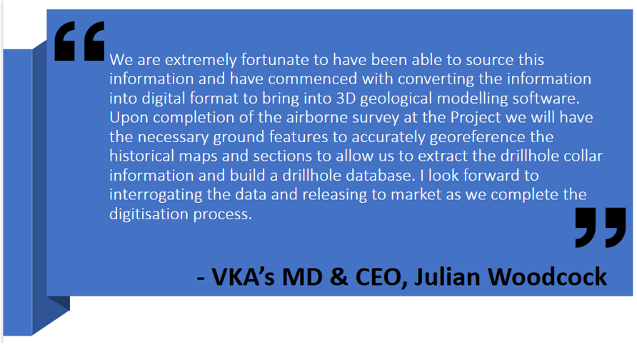
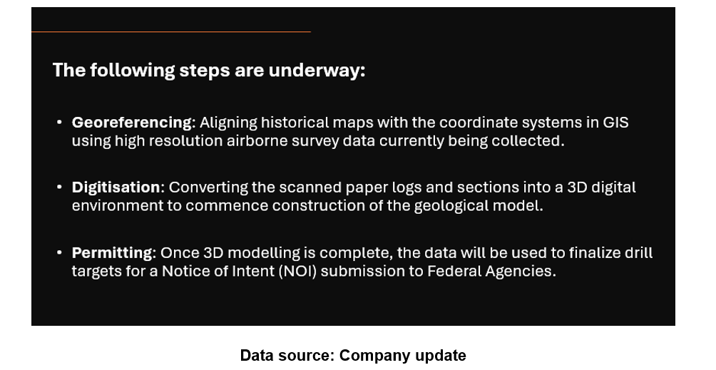
Viking is currently integrating the historical dataset into its digital exploration database.
Data source: Company update
Viking expects to release the digitised data in three tranches, starting with Linka, followed by Hillside and Conquest, over the coming weeks.
