
 AUS
AUS
 NZ
NZ
 UK
UK
 CA
CA
 USA
USA
 IND
IND






Highlights
- Viking Mines has completed a high-resolution orthomosaic drone survey and ground investigation at the Linka Tungsten Project in Nevada.
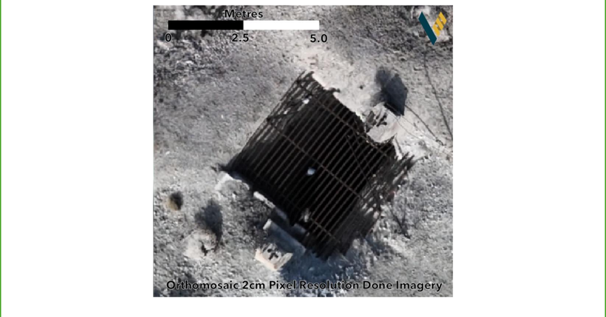
- The survey provided 2cm pixel resolution imagery and a detailed Digital Elevation Model, enabling seamless integration of historical exploration data.
- Five historical survey points from the 1970s were successfully identified.
- The integration of modern aerial data with historical records is enabling the development of a high-fidelity digital twin of the Linka Project.
- Orthomosaic imagery and DEM data support geological mapping, feature identification, drillhole planning, infrastructure assessment, and topographic modelling.
- Metallurgical testwork has commenced on a 1.3% WO₃ sample from the Linka Pit, with results expected in February.
Viking Mines Ltd (ASX:VKA) has completed a high-resolution orthomosaic drone survey and associated ground investigation at its Linka Tungsten Project, located in Nevada. The survey delivers centimeter-perfect spatial framework required to fully leverage the project’s historical exploration database.
The survey provided a 2cm pixel resolution imagery alongside a detailed Digital Elevation Model (DEM). Furthermore, it streamlined data integration by connecting 50-year-old paper records with modern 3D geological modelling software.
Unlocking Historical Data Through Modern Technology
A key outcome of the investigation is the identification of five historical survey points dating back to the 1970s. These points act as “spatial anchors”, allowing historical maps and drill data to be accurately digitised. This process converts historical drill locations into precise three-dimensional, validating the AUD 1 million replacement values of the drilling data recently acquired by VKA.
By integrating aerial data with historical exploration records, Viking is developing a high-fidelity “Digital Twin” of the Project.
VKA shares were trading at AUD 0.013 per share at the time of writing on 27 January 2026.